By BRENT MARTIN
St. Joseph Post
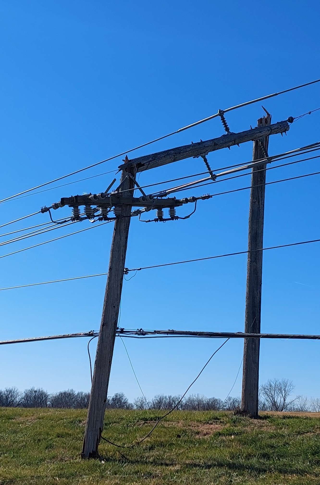
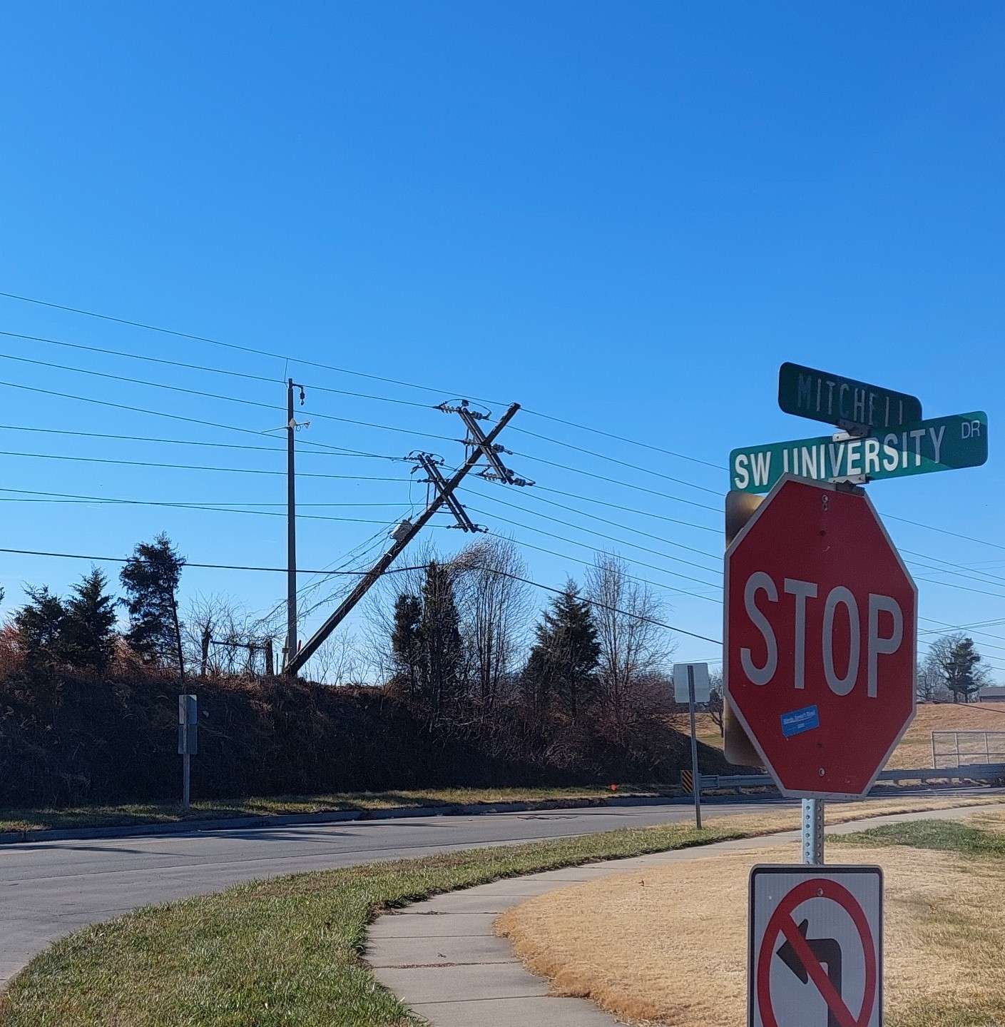
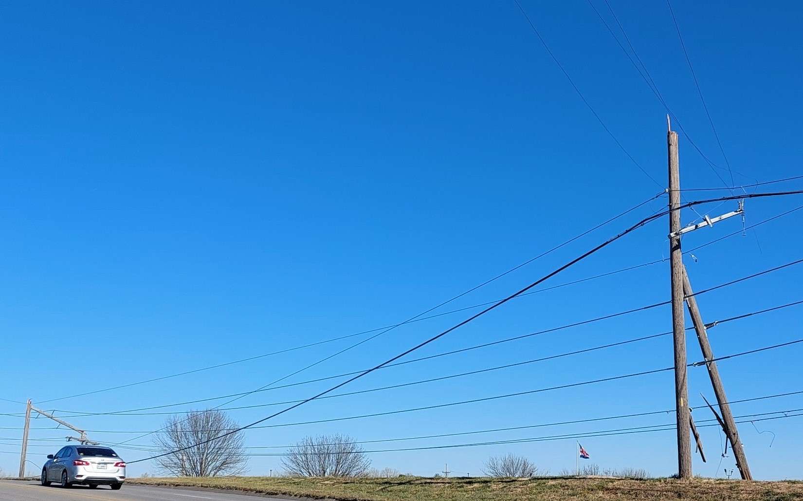
Extremely high winds roared through the entire area on Wednesday, with gusts of between 75-and-85 miles per hour reported.
St. Joseph is picking up the pieces, but a survey of the damage by city crews reveals the city didn’t get hit as hard as feared.
City Manager Bryan Carter says he has been hearing from those cleaning up debris left in wake of the storm.
“At first glance, it doesn’t seem as bad as you would expect out of wind of that nature,” Carter tells host Barry Birr on the KFEQ Hotline. “I’ve gotten a report that we have 16 street trees that fell or dropped limbs, dropped significant limbs which is not indicative of a major event, certainly not what we seemed to be experiencing as we went through last night.”
St. Joseph first came under a thunderstorm warning that turned into a tornado warning early Wednesday afternoon with possible tornadoes spotted in northeast Kansas around the Troy area and south of Maryville.
Evergy reports 120 outages remain in St. Joseph early Wednesday afternoon, with 4,413 residences still without electricity. The utility reports slightly more than 38,000 customers without electricity in northeast Kansas and northwest Missouri.
Power outages forced the closing of Lafayette High School today, the Savannah school district, the Mid-Buchanan School District, North Nodaway R-6, and the Doniphan West USD III School District.
Carter says city crews spreading out across the city cleaning up debris report damage isn’t as bad as anticipated.
“I did get a report from Parks (Dept.) that they had a few large trees down,” Carter says. “However, not the same amount that we’ve experienced in past storms. So, some good fortune there; certainly not what I feared.”
Winds hit speeds unheard of this time of year with an 80 mile an hour gust reported near Watson in Atchison County, Kansas and a 90 mile per hour gust reported in Tarkio in Atchison County, Missouri.
Tommy Rezac contributed to this article.